
Tag Archives: Harvard Humanitarian Initiative
Caretographic Representations
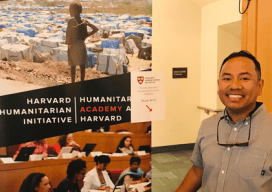
In parts of the world where both man-made and natural catastrophes frequently occur, how are geospatial technologies being used? And for those of us whose jobs are to create maps of construction sites and other built-up areas, how can we responsibly use the same technology to monitor destruction and wreckage? I pondered these tough questions...
