
Tag Archives: islands
Island Hopping
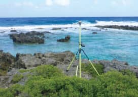
Using topo-bathy lidar to map distant islands helps develop high-resolution 3D topographic data for the U.S. and its territories
Using topo-bathy lidar to map distant islands helps develop high-resolution 3D topographic data for the U.S. and its territories
